Witness the firepower of this fully armed and operational weather satellite
Ars Technica » Scientific Method 2017-01-24
NOAA
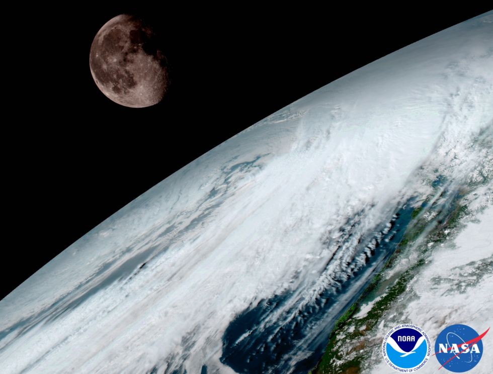
In November, the most expensive and advanced weather satellite ever built in the United States launched, and it then spent several weeks reaching a geosynchronous orbit nearly 36,000km from Earth. After some initial diagnostics, scientists at the National Oceanic and Atmospheric Administration turned the GOES-16 satellite (GOES stands for "Geostationary Operational Environmental Satellite") on and began taking photos of Earth.
On Monday, the agency released the first images taken by GOES-16—and do they ever deliver the goods. "These images come from the most sophisticated technology ever flown in space to predict severe weather on Earth," said Stephen Volz, director of NOAA’s Satellite and Information Service. "The fantastically rich images provide us with our first glimpse of the impact GOES-16 will have on developing life-saving forecasts.” The satellite will continue to undergo testing during the next several months before becoming full operational in November.
Read 2 remaining paragraphs | Comments