Nagging sea level-rise mismatch solved
Ars Technica » Scientific Method 2020-08-19
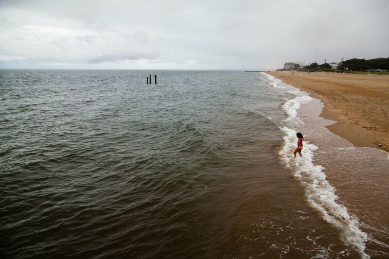
Enlarge (credit: Chesapeake Bay Program)
Sea level rise is an unambiguous consequence of climate change. Warmer water expands, while melted land ice flows into the sea. But what fun would it be if the natural world didn’t make things a little more complicated? A number of processes can cause the trends experienced on different coasts to vary, from ocean circulation to rising or falling land elevation. Although we've wanted to quantify each contributor to sea level rise, it should be no surprise that the numbers don’t always add up perfectly.
So researchers have turned to a process called “closing the budget”—working on adding estimates of ice mass loss, thermal expansion of seawater, and change of water storage on land, and then comparing that to estimated sea level trends from tide gauges and satellites. Research has closed the budget for recent decades, including the era of good satellite data starting around 1990, and extending that back to about 1960. But in the first half of the 20th century, tide gauges are sparser, as are observations of glaciers and ocean temperatures. As a result, a mismatch has remained between what we'd expect based on estimated sea level rise causes and what we think we saw, based on estimated sea level rise. There was apparently more sea level rise than we could explain in that time period.
Try, try again
Researchers have been working on these problems from every angle, cleaning up dataset problems and tackling complications like land-elevation changes. So a team led by Thomas Frederikse at Caltech’s Jet Propulsion Laboratory decided it was time to try again. Frederikse and his colleagues find that estimates are now consistent all the way back to 1900. And that includes a couple of time periods of higher or lower rates of sea level rise along the way.
Read 12 remaining paragraphs | Comments