How salty is that seawater? Ask the Aquarius satellite
Ars Technica » Scientific Method 2013-03-25
Some 400 miles above the Earth, NASA satellites are watching you. They’re not actually interested in you or anything you do, of course—they’re just making measurements of environmental variables like temperature or cloud cover. While most people equate space agencies like NASA or the ESA with the exploration of extraterrestrial destinations, a critical part of their mission is to study our own planet from the unique orbital point of view.
The advantages are obvious: rapid coverage of large areas using the same instrument and continuous data collection. But there are challenges, too. It’s not exactly cheap to get the instrument up there, and if a component breaks, it’s game over. Then there’s the not insignificant task of finding a way to measure the thing you’re interested in from hundreds of miles away.
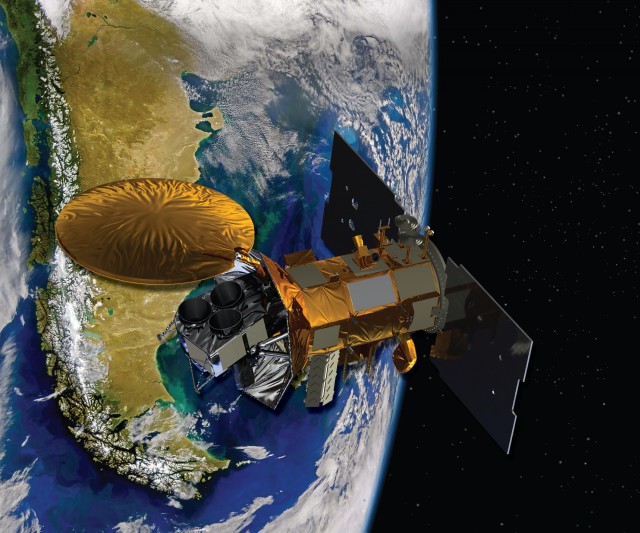
One of the newest members of the Earth-observing club is Aquarius (along with its friends aboard the SAC-D satellite). Launched on June 20, 2011, the satellite is a collaborative effort between the US and Argentina. Its job? To map surface ocean salinity around the globe and improve our understanding of ocean circulation and the hydrologic cycle.
Read 8 remaining paragraphs | Comments