500 years of Mississippi flood data shows things have gotten worse
Ars Technica » Scientific Method 2018-04-05

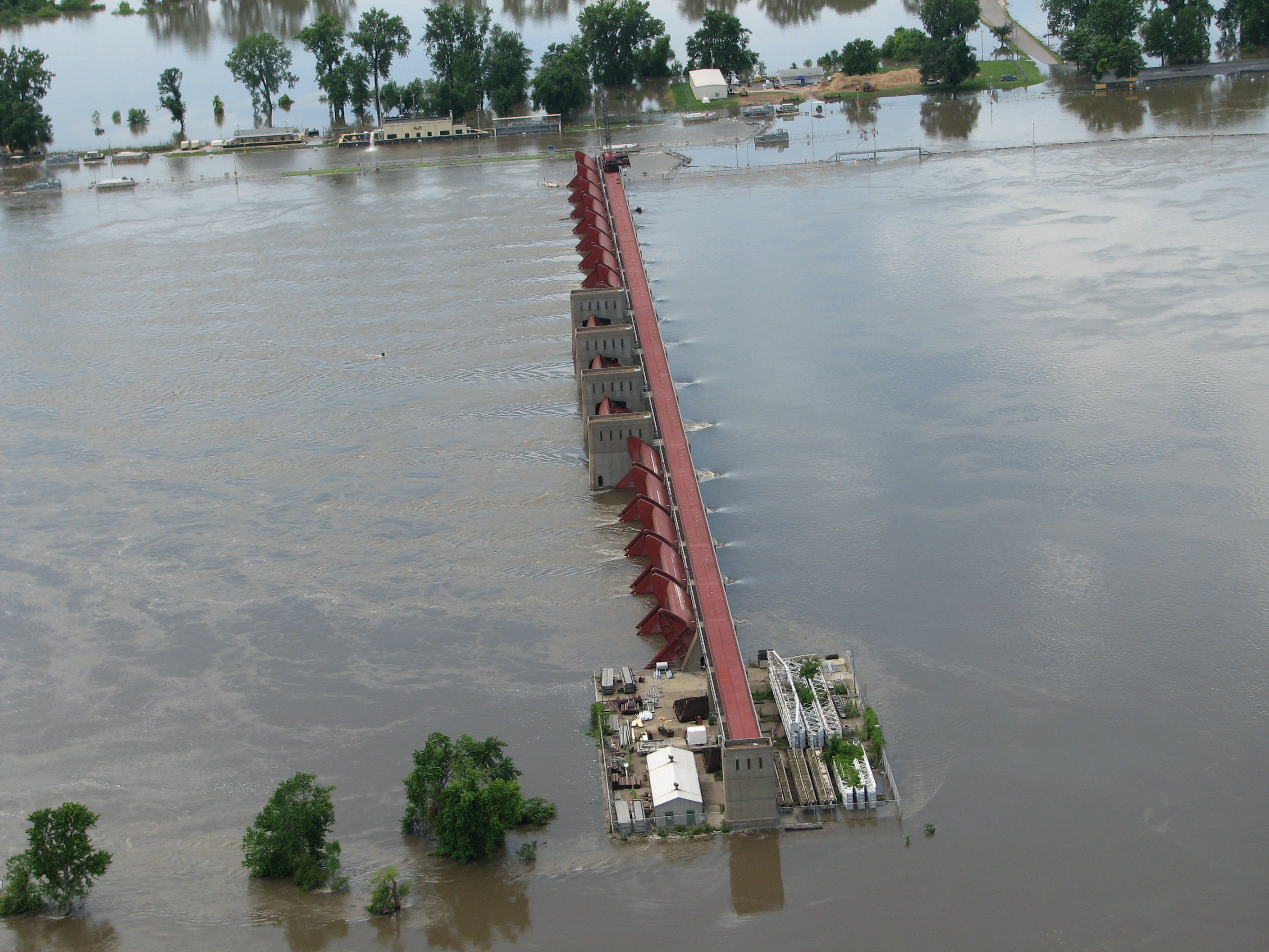
Enlarge / While we've done a lot to control the flow of the Mississippi, it's not always effective. (credit: USGS)
It's hard to get a sense of the Mississippi River's scale without having seen it. It drains water from 31 of the 48 contiguous states, along with parts of Canada, and its outflow can average up to 20,000 cubic meters of water every second. When something that big floods, it can be a staggeringly destructive event, one that can impact multiple states as the surge of water makes its way downstream to the ocean.
Accordingly, humans have been attempting to limit the impact of flooding by building structures that contain the river and direct its overflows. But as floods have continued to plague the river basin, including a massive 2011 flood, people have started to question whether the structures we've built have only made matters worse. A new study reaches back 500 years to gather data on past floods and answers that question with a yes.
Creating a history
For a river like the Mississippi, floods are erratic events, which means that picking out trends requires many years of data. A decade-long lull in flooding, for example, won't tell you if you're safer or lucky. And here, the relatively recent settling of the North American interior works against us; the first hardware to measure the flow of the river wasn't installed until nearly 1900. So how do you analyze a history that doesn't exist?
Read 10 remaining paragraphs | Comments