Nasa can now forecast sinkholes
Ars Technica » Scientific Method 2014-03-08
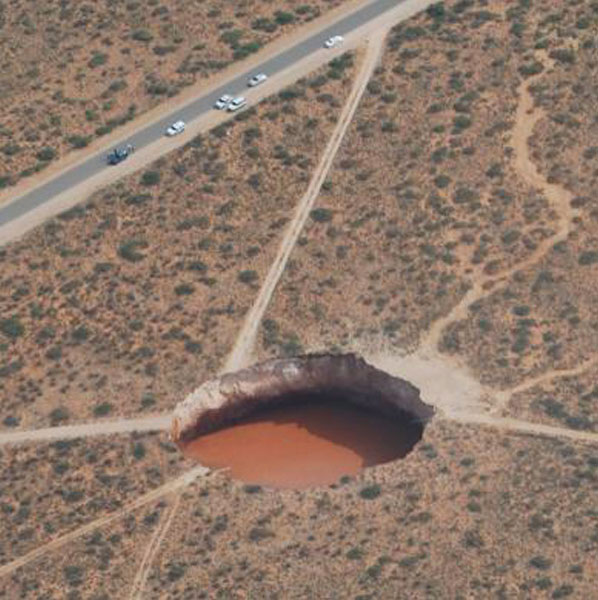
Two years ago, a giant sinkhole swallowed trees whole in a Louisiana bayou. This year, Nasa says it could have predicted it.
It might sound like too little too late, but with five-to-ten times more sinkholes occurring in this country because of the wet weather this year, any potential tool for mapping precarious landmasses will be most welcome.
The sinkhole Nasa is basing its study on, near Bayou Corne, was a monster measuring 10.1 hectares. It was 229m (751ft) deep by the time it ceased swallowing everything in sight. In a paper published in the journal Geology, Cathleen Jones and Ron Blom, from the Jet Propulsion Laboratory, have shown how radar data captured by Nasa's Uninhabited Airborne Vehicle Synthetic Aperture Radar (UAVSAR) between 2011 and 2012 could have been used to predict the natural catastrophe.
Read 11 remaining paragraphs | Comments