Report faults NOAA leaders’ response to president’s Sharpie moment
Ars Technica 2020-06-16

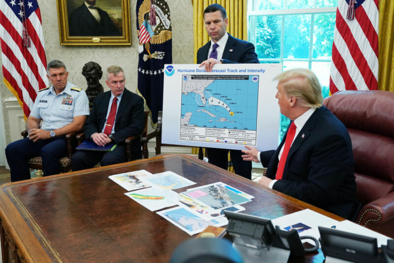
Enlarge / President Trump points to a map that has undergone some post-printing modifications. (credit: Chip Somodevilla )
President Trump not only refused to correct a tweet mistakenly stating that Alabama would “most likely be hit (much) harder than anticipated” by Hurricane Dorian last September—he went as far as to display an official forecast map crudely modified with a black marker to defend his claim. The incident dragged the National Oceanic and Atmospheric Administration into the controversy.
The Birmingham office of the National Weather Service had quickly responded to questions by tweeting that Alabama was not forecast to be impacted. That in turn led to an unsigned statement released by NOAA leadership, intended to aid the White House in damage control. It read:
From Wednesday, August 28, through Monday, September 2, the information provided by NOAA and the National Hurricane Center to President Trump and the wider public demonstrated that tropical-storm-force winds from Hurricane Dorian could impact Alabama. This is clearly demonstrated in Hurricane Advisories #15 through #41, which can be viewed at the following link.
The Birmingham National Weather Service’s Sunday morning tweet spoke in absolute terms that were inconsistent with probabilities from the best forecast products available at the time.
The statement set off a storm within NOAA, including several complaints being filed to its scientific integrity Officer. On Monday, the officer's independent report was published. It finds violations of NOAA’s scientific integrity policy, but it recommends policy clarifications and better training rather than direct consequences for those involved in releasing the statement.