A New Tool Shows What War Has Done to Ukraine’s Forests
newsletter via Feeds on Inoreader 2023-08-20
Summary:
Access The OSINT Forest Area Tracker here. You can read a concise summary of the tool on the GitHub repository.
Among the many victims of Russia’s full-scale invasion of Ukraine are some of the most important ecosystems in Eastern Europe: Ukraine’s forests and protected areas.
The full extent of the damage, however, is unknown. That’s why we are launching a new tool that will help open source researchers track destruction from afar.
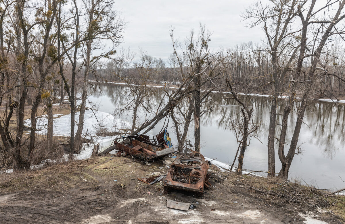
In September 2022, Ukrainian environmental researchers visited national parks — which are more resilient to climate change than artificial plantings and support crucial biodiversity—to assess damage to forests and wildlife. Initial findings revealed broken trees, damaged root systems due to trench digging and unexploded munitions scattered across protected lands.
“Forests have suffered a lot on the frontline… huge areas of forests are being mined”, Yehor Hrynyk, an environmental campaigner at the Ukrainian Nature Conservation Group, told Bellingcat. But large parts of Ukraine’s vast national parks, mountainous regions and woodlands are inaccessible for on-the-ground environmental monitoring.
That’s where open source techniques come in.
The OSINT Forest Area Tracker
We’ve launched the “OSINT Forest Area Tracker”, hosted on Google Earth Engine. Our tool compares data collected by Sentinel-2, a satellite which detects changes in infrared wavelengths and can be used to study the health of forests.
The tool reveals the scale and intensity of anomalous changes on land. This narrows down search areas for researchers working on environmental damage in Ukraine.
Importantly, the map does not attribute the cause of these changes, meaning that it is crucial to find corroborating evidence from other sources before concluding that they were the result of military activity.
The tool uses the Normalised Burn Ratio (NBR) index to estimate burn severity.
Researchers can also use the tool to select custom date ranges for geographic locations of interest.
As Ukraine’s official database of protected areas includes over 7,500 sites, we chose not to study them all — among their number are botanical gardens, city parks and archaeological sites. That list also includes many areas in the far west of the country which have not seen intense conflict.
Therefore, we selected 16 areas which featured the highest number of detected fires over the first year of the war, based on Moderate Resolution Imaging Spectroradiometer (MODIS) data. MODIS is a sensor which allows satellites to detect thermal anomalies, including fires in active war zones (Along with VIIRS, MODIS data can be accessed on the FIRMS system; you can read more about its use to open source researchers here). We also added Svyati Hory National Park because of its proximity to fighting. The tool includes a drop down list preset areas from across the country, including those near military activity. These preset areas are referred to by their acronyms, for example SHNP for Svyati Hory National Park. A full list of these acronyms can be found on the tool’s GitHub page. If researchers are interested in areas of the country not included in the dropdown menu, the coordinates can be entered manually.
While the new tool focuses on Ukraine by default, the methods it employs could be used to analyse areas elsewhere in the world.
Damage to the Svyati Hory Forests
To show you how the tool works, let’s assess Svyati Hory National Park, a protected area in Eastern Ukraine. This forested area, also known as the Holy Mountains National Park, is set against rolling hills in the north of Donetsk Region, near the borders with Kharkiv and Luhansk Regions. It’s famous for the Sviatohirsk Lavra Monastery which lies along the Siverskyi Donets River — which di